English follows Japanese.
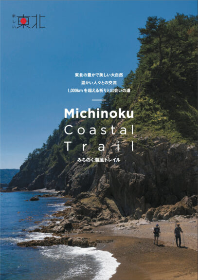
昨年11月に完成した、復興庁「新しい東北」の事業で作成したモデルルートガイドブックですが、PDF、デジタルブックの情報を公開します。
こちらガイドブックは地球の歩き方社さんが企画、制作し、私たちNPO法人みちのくトレイルクラブはモデルコースの監修、写真撮影協力等を行ったものです。
冊子のガイドブックは海外からのお客様対応ということで英語版になっておりますが、PDF、デジタルブックについては英語版、日本語版をご用意しています。PDFデータのダウンロードも出来ますし、デジタルブックで見ることも出来るようになっています。
掲載されている素晴らしい写真の数々は、岩手県釜石市在住の写真家、岩間 幸司さんに撮影していただきました。 また、制作にあたっては、たくさんの地域の方たちにお世話になっています。
ガイドブック内では、以下の4つのプランをご紹介しています。
地点間の距離もわかりやすく記載していますので、海外の方のみならず日本のハイカーにもわかりやすい内容になっています。
- モデルプラン01:八戸市〜洋野町 2泊3日
- モデルプラン02:洋野町〜岩泉町 3泊4日
- モデルプラン03:宮古市〜岩泉町 3泊4日
- モデルプラン04:金華山、網地島、田代島 2泊3日
冊子のガイドブック(英語版)をご希望される方は名取トレイルセンターで配布いたします。ぜひご来館下さい。
ーーーーーーーーーーーーーーーーーーーーーーーーーーーーー
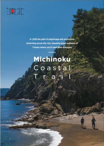
We are excited to release the PDF data for a new guide pamphlet for the Reconstruction Agency’s “New Tohoku” project which was finished in November 2020. This pamphlet was produced by Diamond-Big Co (the company behind Good Luck Trip), with Michinoku Trail Club supervising creation of the model hiking plans and helping with photography.
These pamphlets were made to serve as mini guidebooks for hikers coming from overseas, so the printed pamphlets are in English only, but the downloadable PDFs on this page are in Japanese and English. The lovely photos were taken by photographer Koji Iwama, who lives in Kamaishi. We also want to thank the many other people in local communities who helped make this guide. The four model hiking plans in this booklet are:
- Model Plan 1: Hachinohe to Hirono, 3 days and 2 nights
- Model Plan 2: Kuji to Tanohata, 4 days and 3 nights
- Model Plan 3: Miyako to Taro, 4 days and 3 nights
- Model Plan 4: Islands of Miyagi (Kinkasan Island, Ajishima Island, Tashirojima Island), 3 days and 2 nights
We’d be happy to give you a copy of the English guide pamphlet if you come to Natori Trail Center.

